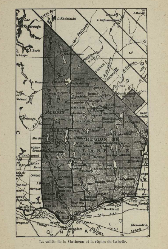
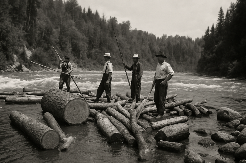
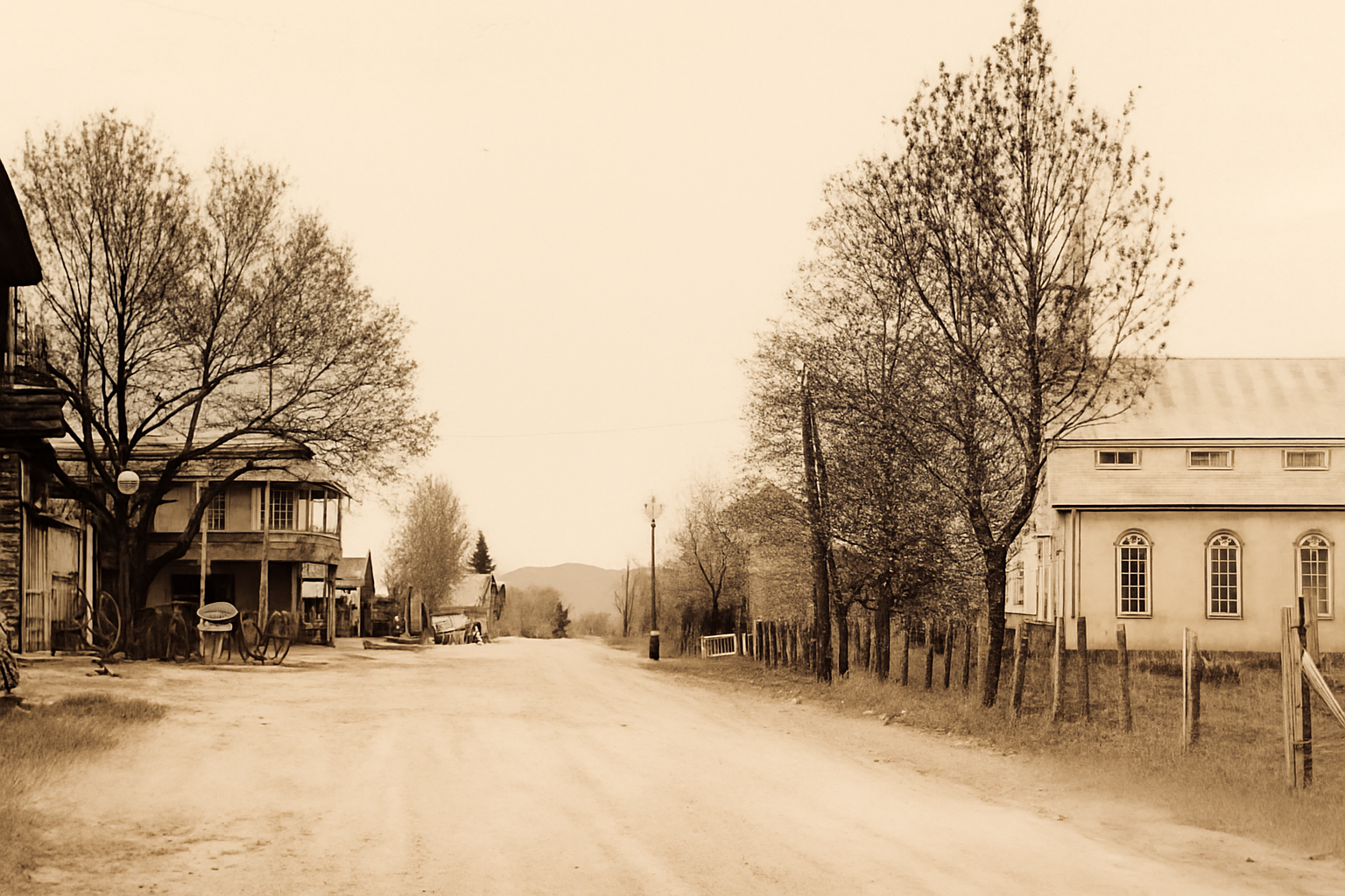
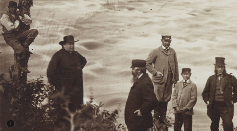
Laurentides • Québec

History of La Macaza

Train du Nord, sawmills and log driving, resort inns, settlement, and community diversity: a local memory anchored in the Macaza River.

Train du Nord and a station in the La Macaza area
The Train du Nord — the line gradually linking Saint-Jérôme to Mont-Laurier (in stages 1891–1909) shaped development in the Laurentians [1][10].

Engine of growth

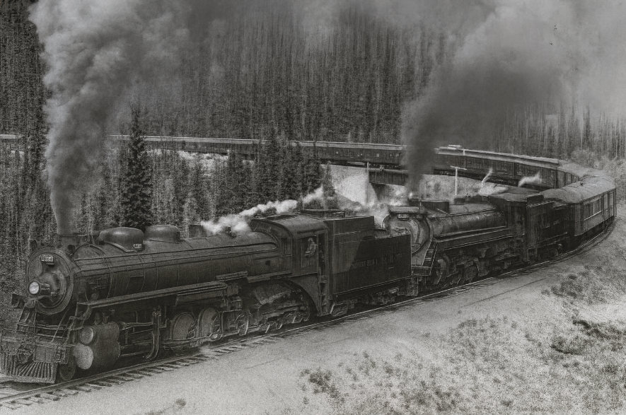
The arrival of the railway made it easier to transport lumber, goods, and people. The Montréal–Saint-Jérôme connection opened in 1876, and the track advanced north to Mont-Laurier by 1909 [11][1].

  • Faster access to logging camps and mills.
  • Inns and shops sprang up near train stops.
  • Nature tourism and winter activities took off.
Settlement map and parish network (Curé Labelle)
Settlement — the movement led in the Laurentians, closely associated with Curé Antoine Labelle, drew pioneer families and builders [2].

Settlement & mission

Around Roche-Fendue, the local mission took shape in the late 19th century: a mill (1895), a school (1897), then construction of the church in 1903 [3]. Municipal sources also recall Curé Labelle’s visit to the area and the parish roots of the village [4].

  1. 1895–1897 — mill then school; worship provided by missionaries [3].
  2. 1903 — church built (contractors Souillard & Thiaville) [3].
  3. 1917 — arrival of a resident priest and construction of the presbytery [3].
Riverside sawmill: catwalks, conveyors, lumber stacks
Sawmill — mills set up along waterways to saw and ship lumber, in step with the spring freshet [5].
Log drivers guiding timber on the Rouge River with peaveys
Log drive on the Rouge — floating logs to booms and mills; a dangerous, seasonal trade for log drivers [5][6].

Mills & log driving

Forests structured the local economy: cut blocks run from camps, sawmills on the riverbanks, and river transport of logs. The Rouge and its tributaries long served as logistical corridors feeding the mills, before installations were gradually modernized [5][6].

Rue des Pionniers in the early 20th century, the heart of La Macaza
Rue des Pionniers — The first access road to La Macaza, once called Montée Léon-Ouellette; officialized in 1988. Today: town hall (No. 53) and church (No. 64). [P1][P2][P3]

The village’s backbone

Historically, Rue des Pionniers was the first access route to the village core. First known as Montée Léon-Ouellette, it recalls the presence of founding families; its current name was officialized by the Commission de toponymie du Québec on November 1, 1988 [P1].

  • Town hall: 53, rue des Pionniers [P2]
  • Parish church: 64, rue des Pionniers [P3]
  • Parish cemetery: access from the same street [P4]

Communities & immigration

Long before settlers arrived, Macaza territory belonged to the Algonquin (Weskarini) nation. Late-19th-century settlement layered a network of French-Canadian families over this Indigenous heritage, soon joined by arrivals from Eastern Europe (Polish, Jewish, Ukrainian, Russian, German, Italian), giving the village a highly composite identity [17][15].

A notable episode began in 1899: six Jewish families established themselves in La Macaza on roughly 750 acres along the river. Between 1901 and 1911, other families from Eastern Europe joined; the community then reached a few dozen households. The initiative is linked to the Jewish Colonization Association (Baron de Hirsch) [13][14].

Polish presence is also visible in local toponymy and place memory: a former “rang des Polonais” is attested in the 20th century, and a chemin Joseph-Topolinski appears in municipal records today, recalling the lasting settlement of families from Poland [16][15].

  • Late 19th: French-Canadian core + parish mission; early shops and mill.
  • 1899–1911: Jewish and Eastern European settlement (farm lots along the river). [13][14]
  • 20th: diversity of surnames, place-names, and trades (log driving, sawmills, garages, general stores). [15]

La Macaza Covered Bridge (1904)

At the end of the settlement period, crossing the Macaza River was done by barge — considered risky by residents. A petition was filed in 1903; on February 1, 1904, government engineer Mr. Castonguay delivered the plans. The bridge was built and opened that same year. First nicknamed Pont Rouge, it officially became Pont Macaza. [18][21]

Structure of the Town “Québécois” truss type, timber frame, corrugated-metal roof and painted cladding. Technical feature: “reverse” nailed assembly with crochis (bent nails) to stiffen the structure. Span about 39.1 m (≈ 129 ft) in a single span. [18][19]

Listed as a heritage property (2016), it is the only surviving covered bridge in the Rouge Valley and among the ten oldest still in service in Québec. Major work in 1992–1993: raising, new foundations, repainting. [8][18]

  • Type/technique: Town truss, “elaborated/Québécois”. [18][20]
  • Dimensions: ~39.1 m; 1 span. [19]
  • Clearance/load: ~2.70 m; ~12 t. [20]
La Macaza covered bridge: oblique view of the span
Pont Macaza — Town “Québécois” type, c. 1904; listed in 2016 (Gabor Szilasi (1962) Source: BAnQ, Ref.: E6,S7,SS1,D622737) [8][18].
Curé Antoine Labelle — portrait
Curé Antoine Labelle — promoter of Laurentian settlement and the railway; an inspiration for the La Macaza mission [2].

Curé Antoine Labelle (1833–1891)

A central figure in Laurentian settlement, the “King of the North” championed the opening of new townships, backed the development of the Northern Railway, and encouraged immigration to anchor populations in the region. His action created the conditions for the growth of Haute-Rouge communities, including La Macaza [2].

His presence is documented locally: in 1878, Labelle visited the “Ferme du Milieu” on the Rouge, between La Macaza and L’Annonciation. La Macaza then became a mission intended to found a village and parish, in line with his northern settlement plan [4].

The La Macaza mission began around 1896; the church was built in 1903. These steps, after Labelle’s death in 1891, show he was not the parish’s direct “founder”: he was chiefly its inspirer and catalyst through his settlement and transportation program [3][2].

Culture & media — Les Pays d’en haut

The TV series Les Pays d’en haut (ICI Tou.tv) revisits the Laurentian settlement era and depicts figures tied to parish life and the rise of the Pays-d’en-Haut, including Curé Antoine Labelle. It’s useful for grasping the cultural backdrop — while keeping in mind it’s a dramatization [TV1].

▶︎ Watch the series on ICI Tou.tv [TV1]

Key dates

  1. 1876 — Montréal–Saint-Jérôme line inaugurated [11].
  2. 1895–1897 — mill then school in La Macaza [3].
  3. 1903 — church built [3].
  4. 1904 — covered bridge built [8].
  5. 1891–1909 — Train du Nord extends to Mont-Laurier [1].